Space probe to map carbon in tropical forests
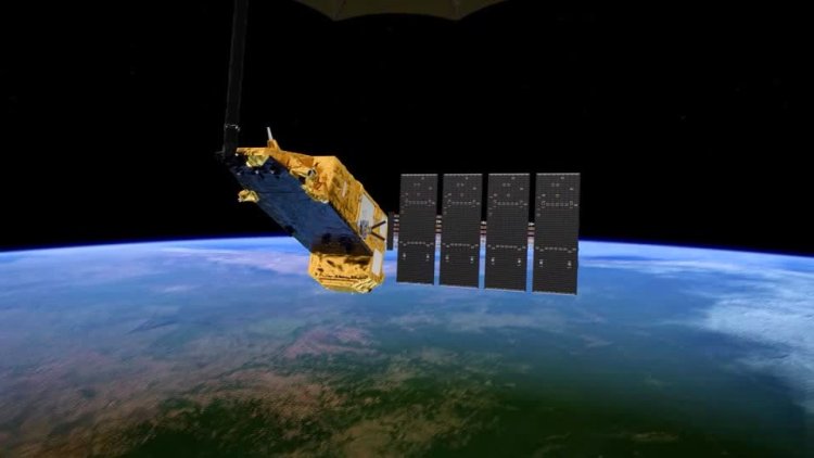
A space probe is preparing for launch into Earth's orbit this month to map the carbon content of tropical forests in some of the world's most remote areas.
A new radar scanner will be attached to the Biomass space probe, and, after its planned launch on April 29, will orbit the earth for several years collecting data on the densest rainforests across Africa, Asia and South America.
The scanner will use interferometry technology to gather data on carbon storage in the forests, with the goal to improve understanding of the carbon cycle flow and measure the effects of deforestation and climate change.
"The forest is the lung of our planet," said the Biomass Project Manager at the European Space Agency (ESA), Michael Fehringer. "We want to measure how much fossil fuel that is burned and produces CO2, how much of that goes into the forests and stays there and is captured."
The probe's instruments are designed to measure carbon levels accurately, even through dense forest canopies.
"When you fly with an optical instrument over the forest, you only see the leaves," Fehringer said. "We have a radar instrument that can penetrate to the ground."
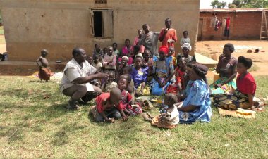
Often referred to as ‘Earth’s green lungs, forests draw in approximately 8 billion tonnes of carbon dioxide from the atmosphere annually. However, the ongoing deforestation and degradation, especially in tropical regions, are resulting in the release of this stored carbon back into the atmosphere.
To grasp the full impact of these changes on our forests and, by extension, our climate, it is crucial to accurately quantify the global carbon cycle, said Fehringer.
He added that the information collected by the Biomass probe is important and necessary for developing conservation strategies and informing climate policy. "The forests are under threat. We need this data," he said.