UK firm develops compact thermal satellites
Infrared tech aims to map Earth heat for climate and security
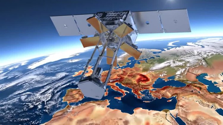
A Cambridge University spin‑out, SuperSharp Space Systems, is developing compact infrared satellite cameras aimed at producing high‑resolution thermal maps of Earth for climate monitoring, agriculture, maritime surveillance and security. The company says it adapts astronomical optics into “unfolding self‑aligning” telescopes that fit large apertures into smaller satellite platforms, lowering manufacturing and launch costs while increasing revisit frequency and enabling day‑and‑night thermal imaging.
Incoming CEO Elizabeth Seward said the technology measures heat rather than visible light, allowing users to detect temperature patterns tied to climate change, urban heat islands, energy loss from buildings, crop stress and natural disasters such as wildfires. In security applications, thermal snapshots can reveal activity and movement by showing where ground temperatures have changed, adding to intelligence on areas of interest.
SuperSharp is also applying thermal sensing to space‑domain awareness: tracking satellites and debris via heat signatures and monitoring satellite health from the ground. The company reports it is building flight models for three products: Casper (the smallest), due to launch first in February 2027; Hibiscus (largest), slated for summer 2027; and Spirit, scheduled for 2028 after high‑altitude balloon testing.
By expanding access to detailed thermal infrared data—previously largely confined to military assets—SuperSharp aims to open new commercial and scientific uses, from improving climate models and real‑time monitoring of environmental hazards to enhancing infrastructure diagnostics and maritime surveillance. If successful, the technology could boost temporal and spatial coverage of global temperature observations, supporting sectors that rely on precise thermal information while lowering costs through innovative compact optics and higher launch cadence.